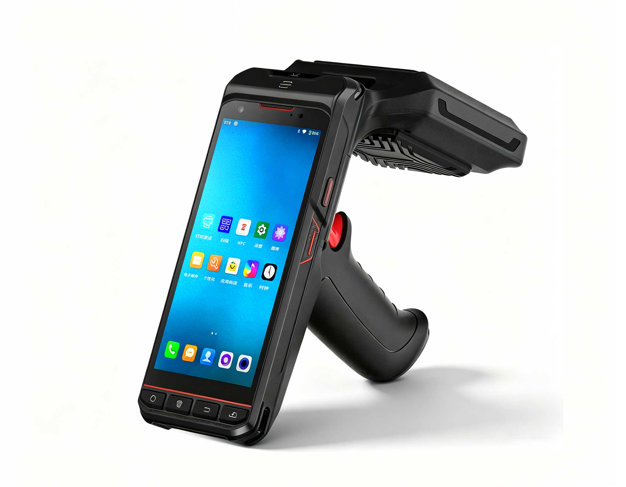
An offshore operations technician records real-time tether telemetry on a HOTUS SH6 marine-certified handheld computer during a deep-water solar array structural audit.
During a recent technical audit at a high-capacity floating solar farm in Southeast Asia, field operations managers identified a critical structural failure: the main pontoon array had drifted 1.5 radial meters from its coordinate baseline after only 18 months of continuous service. Although the underwater mooring lines had experienced substantial physical creep, the onsite maintenance records consisted entirely of qualitative notes scrawled on a diver's grease-pencil slate, lacking any measurable load telemetry. Managing multi-axial material fatigue across industrial anchoring systems through simple visual checks is fundamentally impossible. Marine renewable installations require highly specialized, marine-certified mobile computing platforms capable of logging tension fluctuations, material elongation, and local hydrostatic temperatures directly at the submerged anchor points. In the floating solar sector, an unmonitored drifting array is not a minor positioning error—it is a catastrophic risk that threatens to sever dynamic subsea power export cables and cause multi-million dollar electrical failures.
Floating Solar Point Absorbers Are Drifting Out of Spec – Your Mooring Fatigue Log Needs a Marine-Grade Windows Tablet
Technical Field Report by the Maritime Hardware Engineering Department at Rugged Tablets Technology Labs | June 2026
Floating solar photovoltaic (FPV) technology has quickly transitioned from a specialized alternative into a major segment of global renewable energy generation. Commercial operational capacity has surpassed 20 gigawatts worldwide, driven by large-scale utility installations deployed across inland industrial reservoirs, coastal mining tailing ponds, and sheltered marine bays. The primary economic advantages of these over-water arrays are well-documented by asset management firms: they eliminate expensive onshore land acquisition costs, preserve municipal water volumes by reducing evaporation rates, and achieve a 10% to 15% increase in solar cell conversion efficiency due to the natural cooling properties of the underlying water body.
Despite these clear commercial benefits, the structural engineering requirements of marine-based solar installations present severe maintenance challenges. A utility-scale floating solar installation consists of thousands of high-density polyethylene (HDPE) floats joined in a flexible matrix and secured to the seabed or lakebed by specialized station-keeping lines. These anchoring lines face continuous cyclic loading from surface winds, wave movement, and shifting undercurrents. Over extended operational periods, these multi-axial forces cause ongoing physical material creep, stretching synthetic line fibers and slowly altering the geometric center of the floating platform. When an array shifts beyond its design tolerances, the high-voltage dynamic power cables connecting the installation to the onshore electrical grid are pulled past their bend-radius limits, leading to jacket abrasion, internal short circuits, and sudden system failures. Remediating these deep-water infrastructure issues requires deploying specialized commercial dive teams, marine support vessels, and expensive subsea equipment, resulting in long operational shutdowns and steep repair bills.
Yet, the baseline asset protection frameworks utilized by many modern solar operators remain surprisingly outdated. Standard subsea inspections frequently rely on commercial divers who visually examine the underwater mooring chains and record simple qualitative evaluations on handheld diving slates. This non-quantitative method lacks accurate load link tracking, precise physical measurements of line stretching, or any direct correlation with local wave height history. Structural degradation averaging just 0.3% per month is completely imperceptible to a diver's eye, but it accumulates into more than a meter of structural displacement within a single year, silently pushing the entire asset toward an expensive mechanical failure.
Mitigating Mooring Elongation with IP69K Sealed Mobile Devices
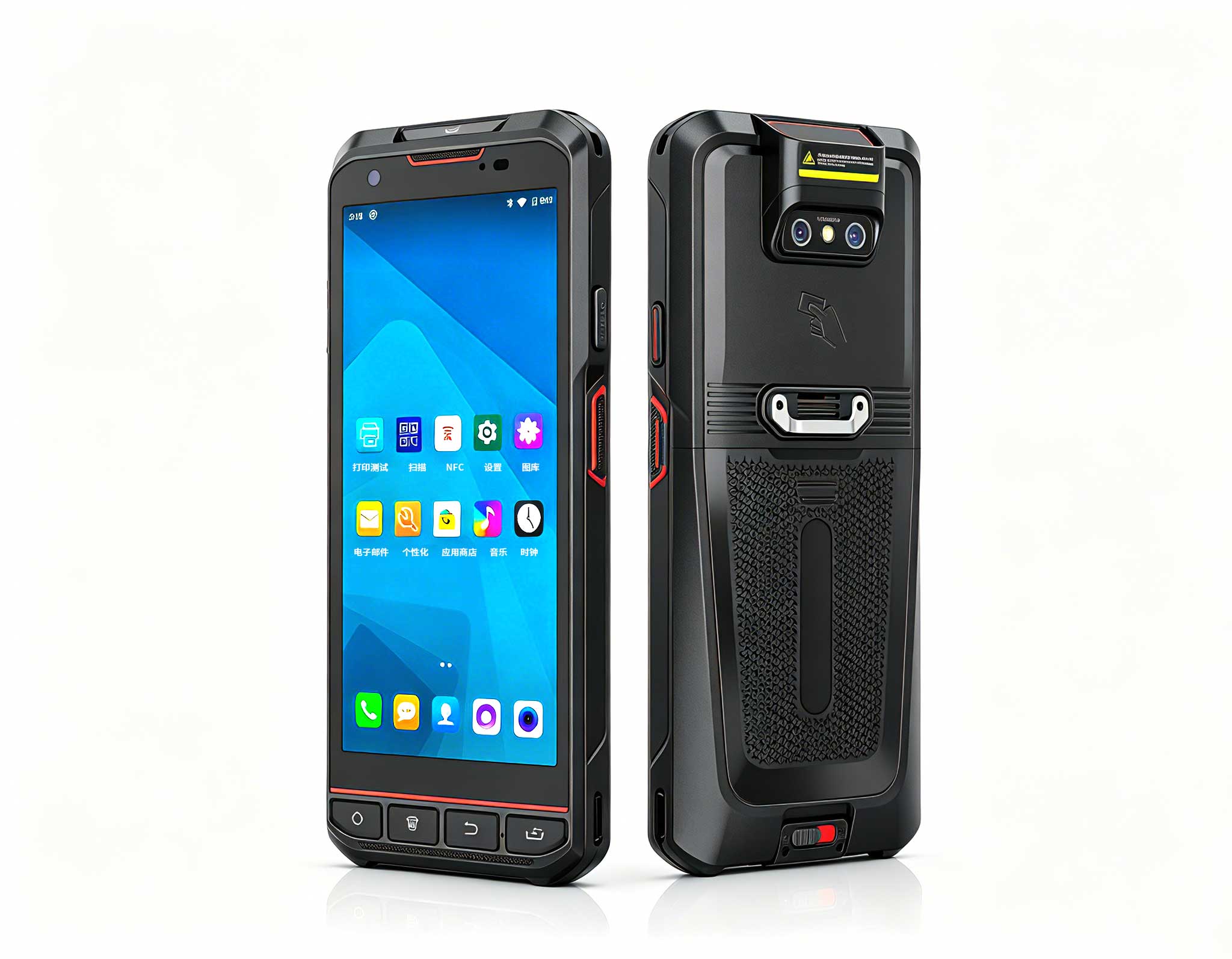
Eliminating these hidden structural risks requires moving away from manual data tracking and adopting data-driven, localized logging workflows using water-resistant field hardware. The Hotus SH6 6.5″ Windows rugged handheld is engineered to perform reliably in corrosive, high-humidity offshore environments. Built with a specialized IP69K-rated sealed enclosure, this compact industrial unit can be washed down to remove salt deposits and withstand high-pressure water streams. The device establishes stable wireless connections with subsea sensor arrays via integrated short-range telemetry:
When used for marine asset tracking, the compact SH6 interface simplifies deep-water infrastructure logging:
- Direct Subsea Sensor Connectivity: The device pairs with submerged load cells and shackle-mounted tension links via low-power Bluetooth or sub-GHz radio frequencies, capturing instantaneous mechanical strain data directly from the anchor lines.
- High-Precision Laser Mapping: Field technicians use integrated laser distance meters to measure changes in distance between specific platform coordinates and fixed shore markers, recording data down to millimeter-level accuracy.
- Hydrostatic Temperature Calibration: The system logs local water temperatures to adjust raw elongation data, ensuring the software accurately separates normal thermal expansion from permanent material creep.
The SH6 is a purpose-built marine data terminal running a full Windows operating system. It allows field crews to reference initial asset installation metrics and baseline alignment data directly from the boat deck. The mobile application logs incoming tension values, links them with localized GPS coordinates, and builds a comprehensive history of material creep for every anchor line. If a line's stretching rate exceeds 0.2% annually, the device automatically triggers an early warning alert, allowing plant engineers to re-tension the line before it impacts the integrity of subsea power connections.

The portable HOTUS processing display shows a localized material creep profile, highlighting lines that have crossed threshold limits and require adjustment.
Consolidating Field Telemetry Across Wide Marine Assets
To help asset engineers effectively manage large-scale renewable installations, data gathered from individual field endpoints must be brought together into a single, high-visibility management dashboard. The Hotus ST13‑J 13.3″ Windows rugged tablet serves as a high-performance terminal that processes data from across the entire anchoring grid. By importing log files from multiple SH6 handheld units via secured dock sync ports or local wireless connections, the ST13-J provides an accurate map of structural health across the plant.
This organized data framework enables operations managers to optimize underwater maintenance schedules based on actual line conditions. Rather than spending budget on generic inspection intervals across the entire platform, dive teams are directed specifically to the anchor points showing unusual movement. The large, high-resolution screen of the ST13-J lets engineers overlay current alignment data against historical weather logs, helping them identify whether accelerated line stretching is linked to recent storms or uneven current distributions across the array.
Real-World Financial Returns in Offshore Asset Protection
The practical value of data-driven structural logging is demonstrated by a marine energy operator managing a 50-megawatt floating solar facility. Their operations team implemented a coordinated fleet of 20 Hotus SH6 handheld units, 15 SH5-W data terminals, and 10 large-format ST13-J tablets to monitor their anchoring system. Within the first year of use, the localized data logging system identified three critical mooring lines that were stretching at three times the rate predicted by standard design models.
Because the engineering team received early warning alerts through the handheld interfaces, they replaced the compromised lines during a scheduled maintenance window for an all-inclusive cost of $80,000. Catching this issue early prevented a major line failure that would have severed a main dynamic export cable, an incident that would have cost an estimated $2.5 million in replacement parts, lost production incentives, and specialized marine salvage operations. Following this clear demonstration of cost savings, the company has updated its corporate standards to require digital load logging and tracking for all new renewable energy installations over water.

The ST13‑J command display provides operators with a clear view of structural conditions, mapping nominal anchors in green and flagging maintenance priorities.
Moving Away from Qualitative Field Notes in Marine Energy
Small structural shifts occurring over months are impossible to detect with simple visual inspections. Qualitative field notes cannot identify micro-stretching, and basic engineering checklists fail to capture the subtle structural changes that precede an anchoring failure. Long-term reliability in offshore installations requires precise data tracking at the physical point of anchor connection. Implementing specialized, marine-certified computing platforms like the Hotus SH6, SH5-W, and ST13-J provides operations teams with the data-driven tools needed to monitor structural movement and protect critical subsea wiring. Ensure your infrastructure is protected by quantitative field insights before slow structural shifting causes an unexpected operational shutdown.
Implement High-Reliability Mooring Logs Across Your Marine Fleet
Want to protect your dynamic high-voltage subsea cables from unexpected structural shifts? Contact the maritime computing engineers at HOTUS Technology today to arrange product evaluations, request pilot pricing for IP69K-rated SH6 platforms, or discuss integrating the ST13-J display with your existing marine sensor arrays.
Contact HOTUS Technology Marine Systems Division →