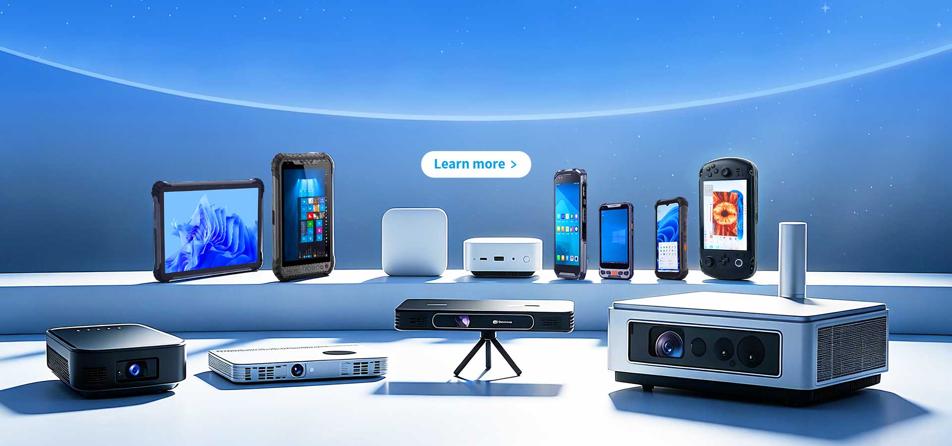
R530C 6.0-inch Industrial PDA | Qualcomm Octa-core...
R366C-S 5.5-inch Industrial UHF RFID Reader | Qual...
The T80 handheld PDA combines advanced barcode sca...

Fig 1 – Drone data meets soil reality. A field technician validates stress zones directly on-site using a sunlight-readable tablet.
Field insight: Drone imagery identifies problems fast, but decisions are made on the ground. Without durable, all-day devices for verification and data capture, valuable aerial insights remain underused. Reliable hardware is now part of the agronomy workflow—not an accessory.

By HOTUS Technology | May 2026
Modern agriculture is increasingly data-driven. Drone-based imaging—NDVI, thermal, and multispectral—has become a standard tool for monitoring crop health across large areas. These technologies allow early detection of variability, helping farmers act before yield loss occurs.
However, aerial analysis alone is not enough. Every flagged anomaly requires physical verification. Agronomists must walk into the field, confirm conditions, and document findings accurately. This step, often overlooked, determines whether drone insights translate into actionable decisions.
")
Consumer devices struggle in this environment. Heat, glare, dust, and long working hours quickly expose their limitations. Battery depletion, poor visibility, and fragile construction disrupt workflows and reduce efficiency during critical scouting windows.
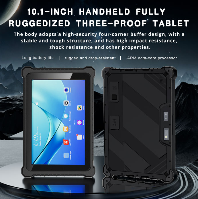
The Hotus HTQ10A Android Rugged Tablet addresses these challenges directly. Its high-brightness display remains readable under direct sunlight, while the rugged enclosure protects against dust, moisture, and drops. Designed for extended field use, it supports full-day operation without performance degradation.
Integrated GPS and compatibility with agricultural software platforms allow precise navigation to flagged zones. Scouts can record observations, capture images, and tag data to exact coordinates in real time. This eliminates manual transcription and ensures that field intelligence is immediately usable.
Data synchronization capabilities further streamline operations. Once connectivity is available, collected information is uploaded automatically, providing agronomists and farm managers with near real-time visibility across fields.

Fig 2 – Input tracking in the field. Each scan links materials to location, timing, and application data.
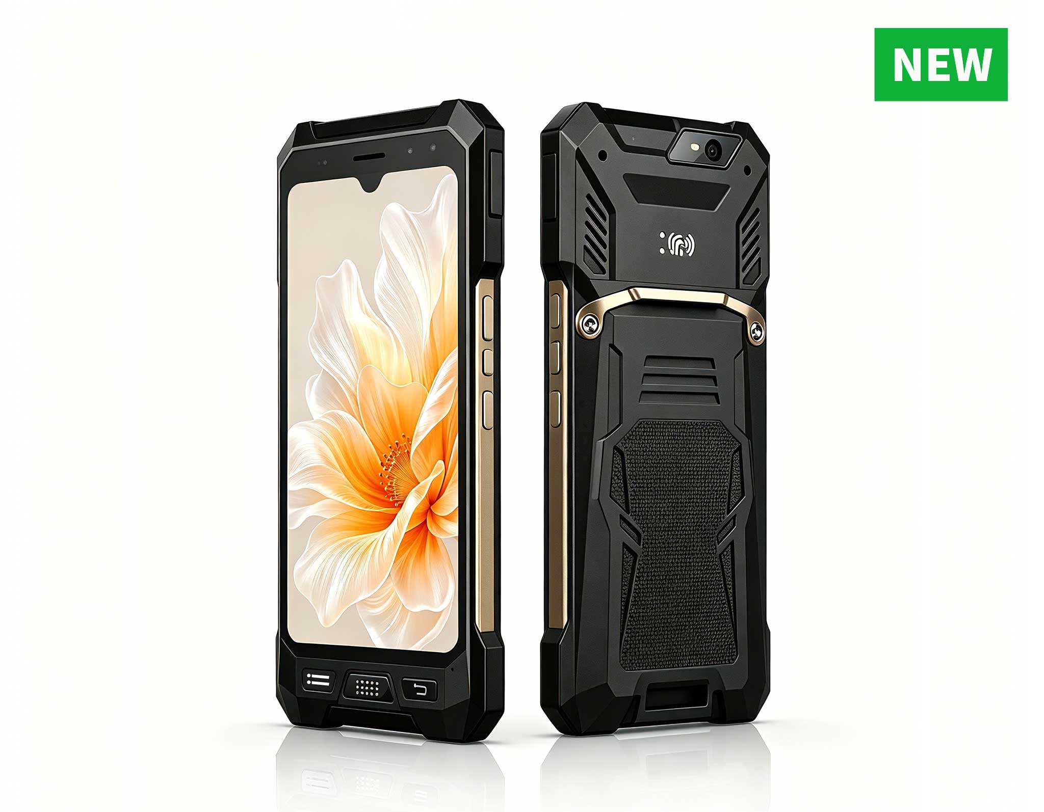
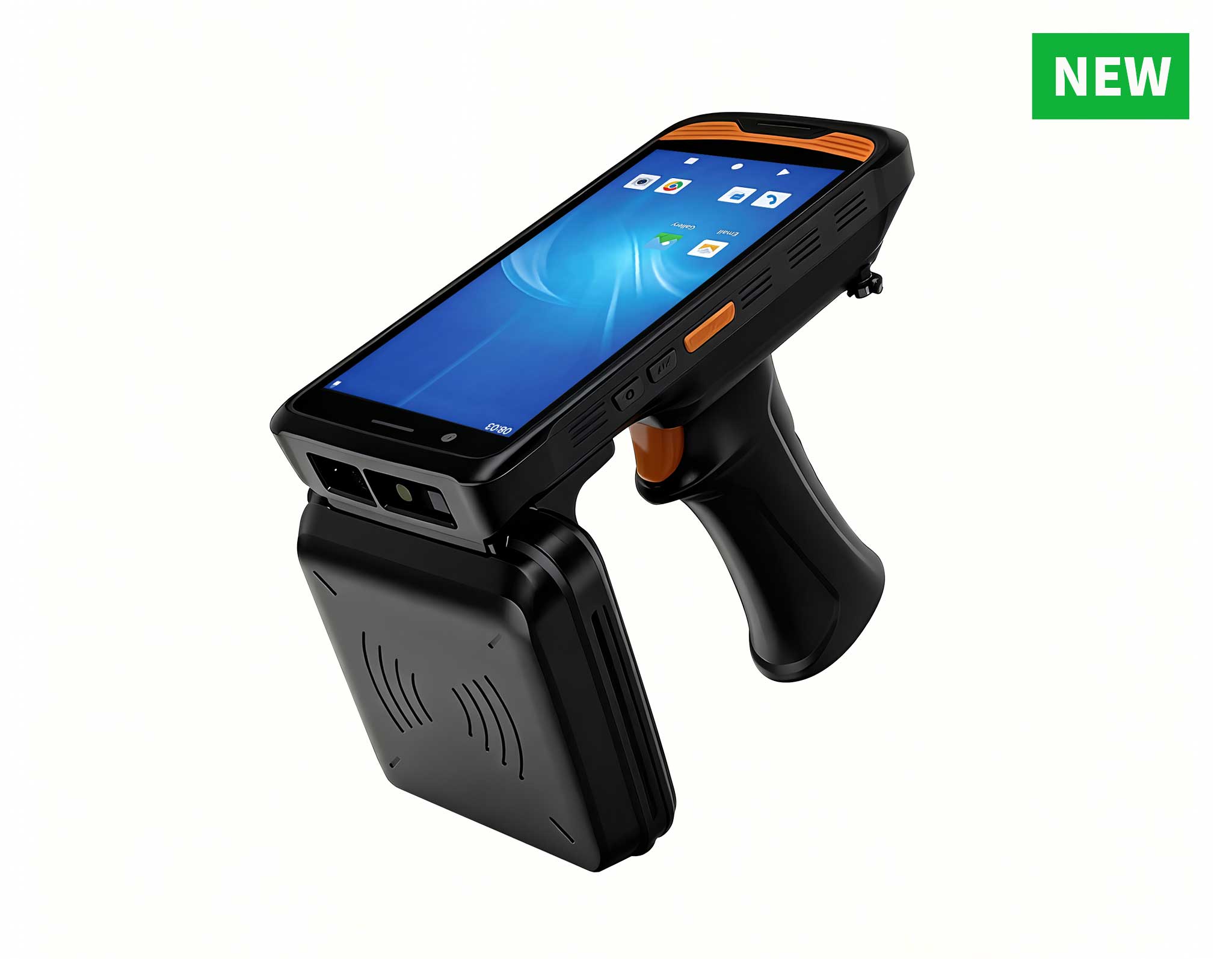
Traceability is equally critical in modern farming. The Hotus F505 Handheld PDA enables accurate tracking of seeds, fertilizers, and crop protection products. By scanning barcodes at the point of use, operators create a reliable log of inputs tied to specific plots.
This level of documentation supports quality assurance, regulatory compliance, and supply chain transparency. It also simplifies root-cause analysis when inconsistencies appear in yield or crop performance.
Combining field mapping with input tracking creates a complete digital record of farm activity. From initial scouting to final harvest, every step is documented, structured, and accessible. This is increasingly important for operations participating in sustainability programs or carbon accounting initiatives.
Farms adopting rugged mobile tools report measurable gains: faster scouting cycles, improved data accuracy, and reduced input waste. More importantly, they gain confidence in decision-making based on verified, field-level information.
")
Fig 3 – Data-driven application. Field maps guide precise input distribution, improving efficiency and reducing waste.
Precision agriculture depends on closing the gap between data collection and field execution. Rugged tablets and PDAs ensure that insights are captured, validated, and applied without interruption.
Contact HOTUS Technology to explore rugged mobile solutions for agriculture, request pilot devices, or build a complete field data workflow tailored to your operation.