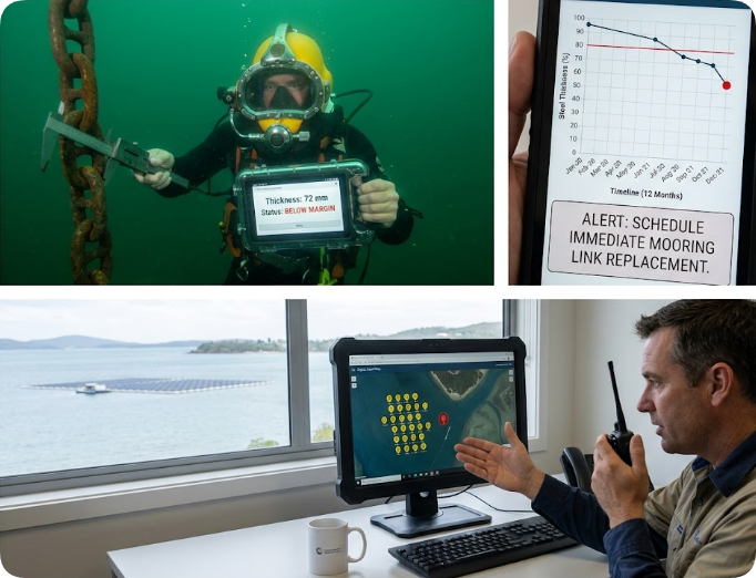
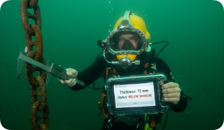
A commercial diver utilizes a HOTUS SH6 marine-grade tablet integrated with a subsea digital caliper to record anchor chain degradation on an offshore floating solar farm.
During a technical site audit across an expansive floating solar array in Singapore last year, the structural vulnerabilities of offshore renewable energy installations became starkly apparent. While the surface photovoltaic panels remained immaculate, the underlying mooring chains—the absolute single point of failure preventing a multi-megawatt solar array from drifting directly into a high-traffic international shipping lane—had never been scientifically measured for material degradation. The project operator relied entirely on an underwater diver's subjective visual appraisal and an unverified paper logbook. A heavy-duty steel mooring chain losing 2 mm of structural thickness annually faces catastrophic failure within five years; however, an engineer or diver cannot visually detect an incremental loss of 0.1 mm per month. Modern offshore infrastructure demands a marine-grade Windows tablet cross-referenced with high-precision subsea calipers to log precise link thickness systematically and flag localized necking below 80% of nominal specifications. In floating solar applications, a corroded mooring chain isn't a routine maintenance checkbox—it represents a drifting island of shattered glass and electrical hazards. Your rugged computer is the ultimate strength test.
Floating Solar Mooring Chain Corrosion Risks: Securing Offshore Energy Infrastructures via Marine-Grade Rugged Tablets
By HOTUS Technology | Global Infrastructure Safety Report | June 2026
Global floating solar photovoltaic (FPV) operational capacity has surged past 25 GW, with massive commercial arrays deployed on industrial reservoirs, hydro-electric lakes, and exposed, high-salinity coastal waters. These complex marine power stations are anchored rigidly in place by extensive mooring chains—typically manufactured from heavy-gauge galvanized steel and engineered for a 10-to-15-year operational lifecycle. However, localized chemical corrosion and mechanical friction in brackish or hyper-saline water can accelerate structural degradation dramatically. A heavy-duty steel chain experiencing an average diameter loss of 2 mm per year will lose up to 40% of its certified breaking strength in less than 36 months. Despite this immense mechanical threat, standard industry inspection protocol remains dangerously primitive, often relying on a diver's quick visual confirmation—noting "chain looks OK" with an underwater grease pencil on a plastic slate.
Subsurface structural testing is notoriously difficult due to extreme turbidity, hydrostatic pressure, and poor ambient light. Legacy workflows that utilize manual record-keeping fail to track systemic structural thinning over long time horizons. If a single chain link undergoes accelerated galvanic corrosion due to localized environmental anomalies, a visual inspection will miss it entirely until the steel deforms under storm-induced wave loads. To prevent catastrophic station-keeping failures, asset operators must implement subsea digital data collection frameworks that turn qualitative diving observations into quantitative, time-stamped telemetry.
Floating Solar Mooring Chain Corrosion
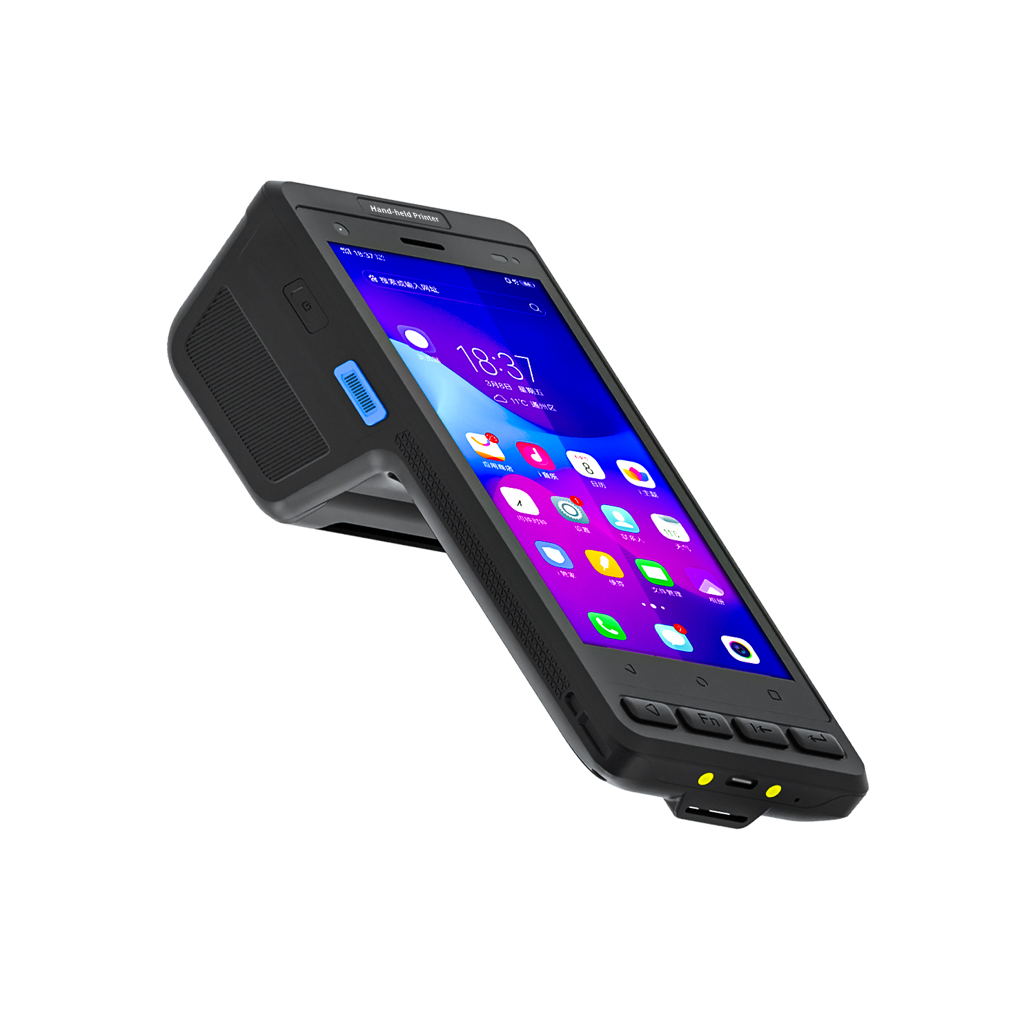
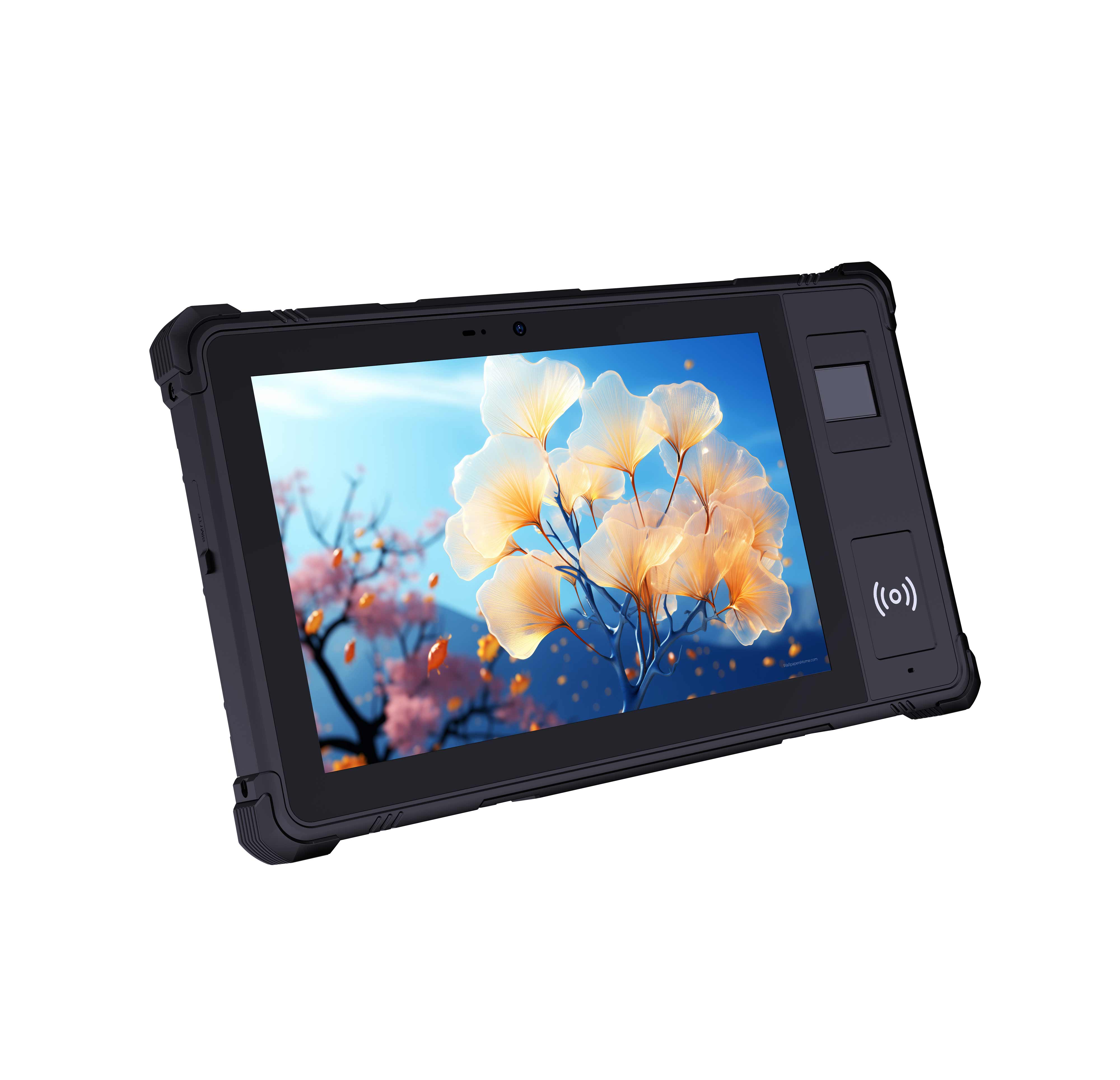
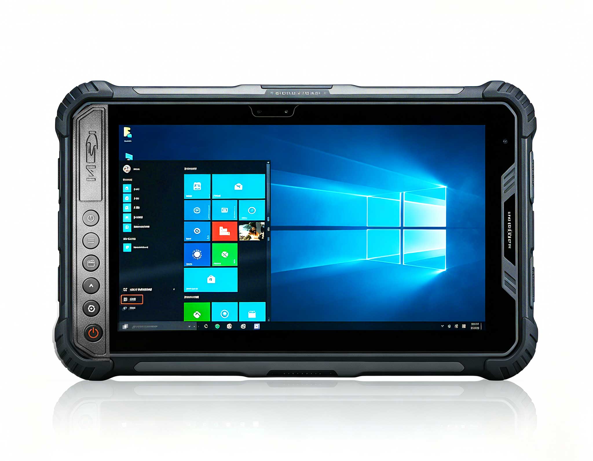
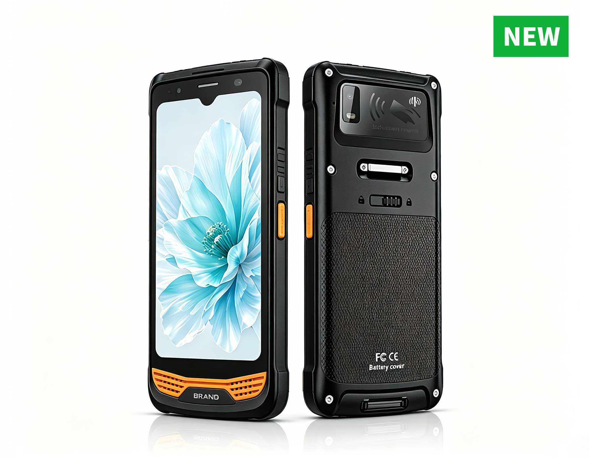
Engineered to survive prolonged maritime exposure, the Hotus SH6 6.5″ Windows rugged handheld combined with a specialized, pressure-rated subsea housing provides an optimized computing environment for underwater inspection teams. The SH6 pairs seamlessly with specialized digital subsea calipers or non-contact underwater laser profiling scanners via underwater marine cables or close-proximity wireless data nodes. During a standard underwater structural audit, the commercial diving specialist executes a rigorous data logging routine:
- Multi-Point Thickness Assessment: Captures structural metal thickness at three critical structural points per link—the top crown, the bottom crown, and the high-friction interlocking lateral sides.
- Automated Nominal Comparison: The internal processing system instantly aggregates the multi-point thickness readings and correlates them against factory-original structural specifications stored locally on the device.
- Geospatial and Visual Tagging: Attaches precise surface GPS coordinates of the primary anchor pile alongside high-resolution photographic evidence of the specific chain link segment being verified.
- Real-Time Out-of-Spec Alerting: Instantly flags any link displaying an average material thickness below 80% of nominal specifications, generating an immediate priority maintenance flag.
The primary benefit of deploying the SH6 industrial terminal is its ability to build historical corrosion trendlines over successive underwater audits. A structural mooring chain losing a minuscule 0.1 mm of steel per month will experience a highly dangerous 0.5 mm reduction in less than half a year—a subtle mathematical trend completely invisible to human eyes under water, yet immediately flaggable when tracked via centralized data structures. Paper inspection records lack the analytical capacity to trend; digital platforms excel at it.
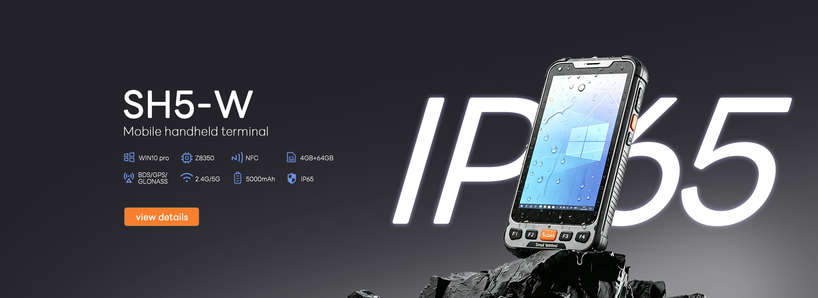
The SH5-W handheld displays a comprehensive trend graph of chain link thickness over five consecutive inspection intervals, highlighting a steady decline crossing into a critical alert zone.
Optimizing Fleet Logistics via Enterprise Rugged Tablets
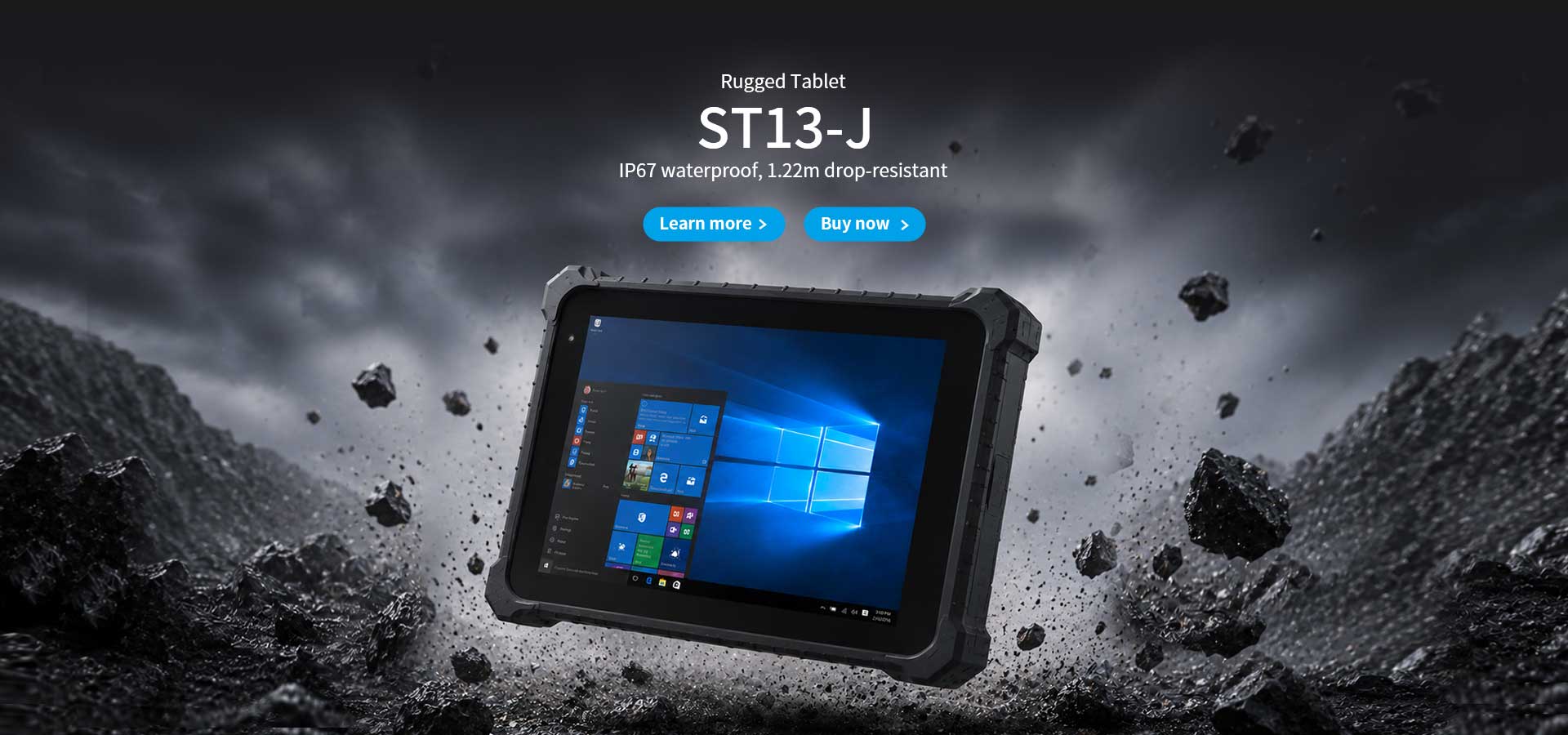
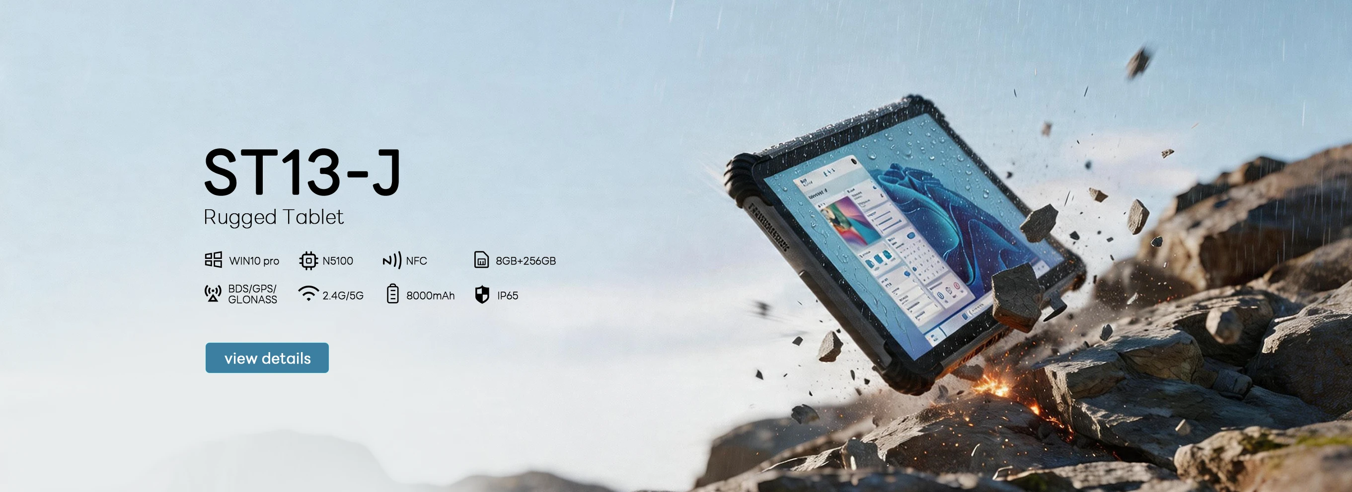
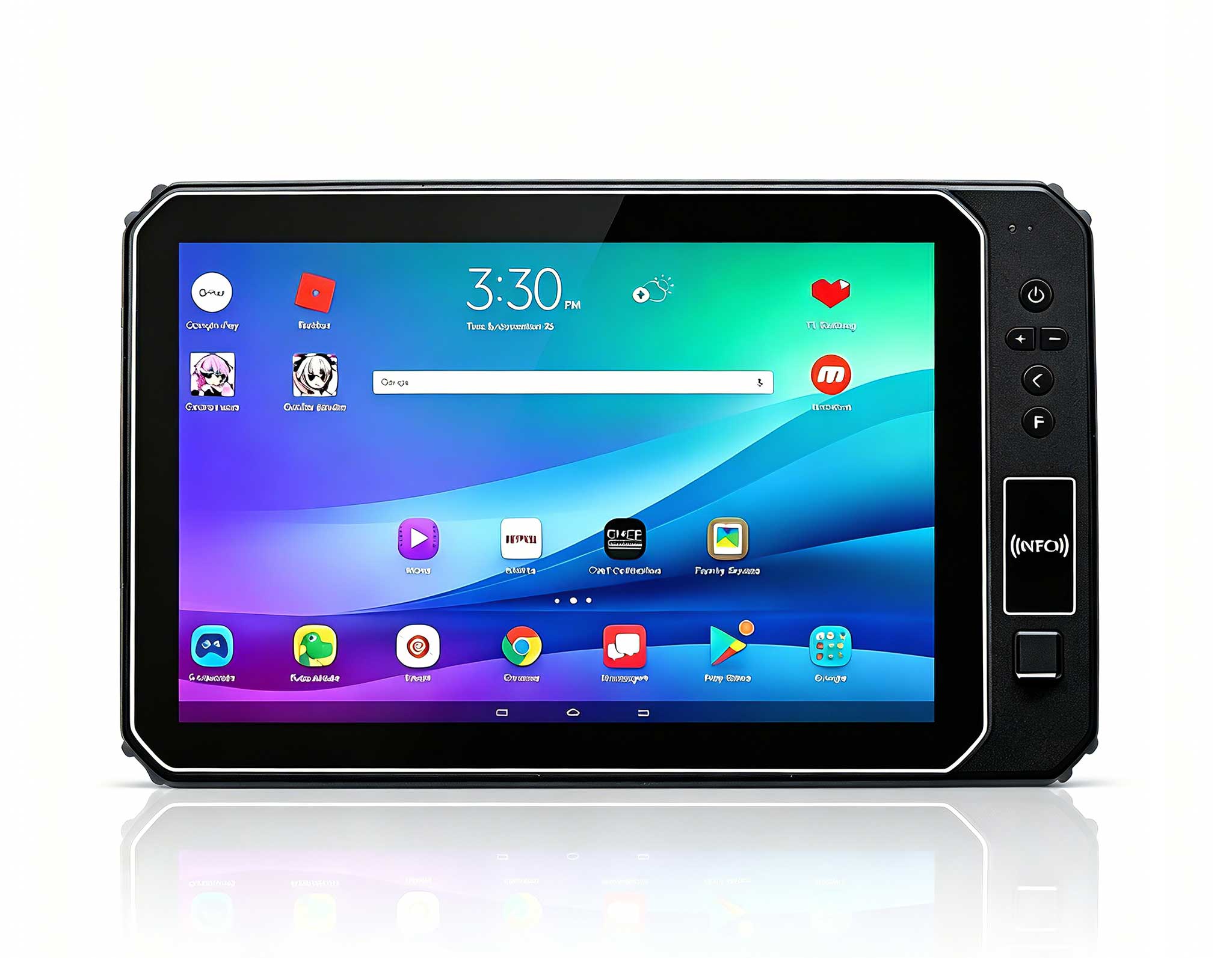
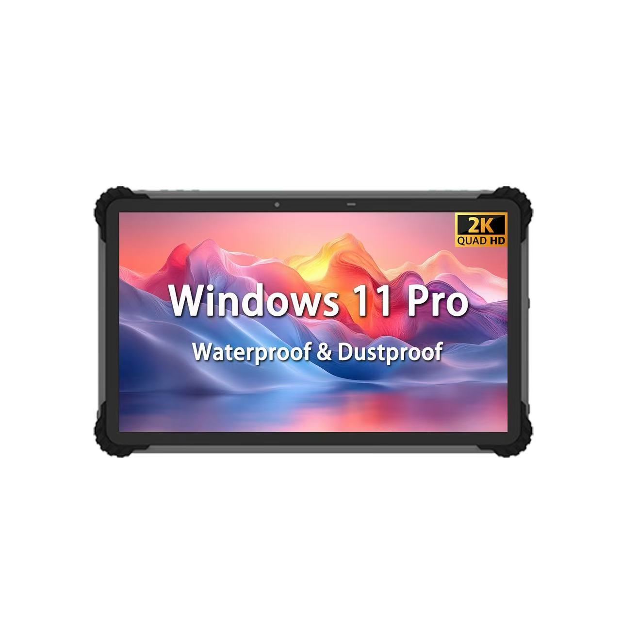
For onshore asset managers and technical engineers monitoring fleet operations from a central control hub, the large-format Hotus ST13-J 13.3″ Windows rugged tablet functions as a secure data aggregation portal, pulling real-time corrosion telemetry from multiple subsea inspection crews simultaneously. The software platform maps the entire floating solar array layout using dynamic status iconography: green denotes excellent asset health, yellow indicates accelerated wear requiring shorter inspection cycles, and red dictates immediate emergency intervention. The second an offshore anchor location shifts to red status, an automated system protocol populates an urgent repair ticket inside the operations management queue.
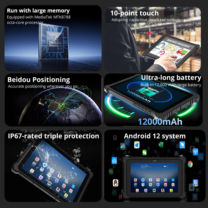
Concurrently, field maintenance supervisors utilize the highly portable Hotus HTQ10A Android Rugged Tablet to orchestrate logistical operations directly from service vessels. The HTQ10A organizes replacement chain segment deliveries, tracks material inventory at storage yards, manages diving crew shifts, and provides field technicians with detailed structural engineering drawings of the mooring blocks.
A notable real-world application occurred when a prominent commercial utility operator managing a 50 MW floating solar array inside a highly turbulent brackish lagoon deployed 15 SH6 specialized dive kits, 10 SH5-W tactical handhelds, and 8 ST13-J telemetry monitors. Within the initial year of digital tracking, the system successfully identified an isolated mooring string where the chain link thickness dropped precipitously to 78% of its original factory rating after only 18 months of water immersion—well ahead of expected wear curves. A subsequent forensic engineering investigation revealed that an intense galvanic corrosion cell had formed due to stray current leakage emanating from an improperly grounded cathodic protection system on an adjacent industrial dock. The compromised chain string was promptly replaced, and the faulty electrical source was permanently isolated. The company calculated that identifying this localized structural flaw early prevented a major multi-line mooring failure that would have caused an estimated $2 million in broken photovoltaic components, structural asset damage, and regulatory marine salvage fines.
The ST13-J dashboard provides an intuitive geographic layout of a floating solar facility, displaying mooring points color-coded in real time to isolate infrastructure components requiring immediate mechanical service.
Floating solar technology represents an exceptional method for optimizing water body surfaces for clean energy generation; however, the critical structural components keeping these arrays anchored safely are entirely hidden beneath the waterline. A diver's unassisted eye cannot calculate micro-losses in steel diameter. True risk mitigation demands marine-grade computing hardware, direct subsea measurement integration, localized geospatial tracking, and long-term algorithmic trend analysis. By adopting the high-durability industrial hardware solutions developed by Rugged Tablets manufacturer HOTUS Technology—including the submersible SH6, the tactical SH5-W, and the expansive ST13-J—clean energy operations can eliminate structural guesswork and protect high-value marine assets against silent underwater degradation. Do not let a single corroded link compromise your entire multi-megawatt renewable energy investment.
Consult with Our Maritime Asset Protection Experts:
Contact HOTUS Technology Today to receive an in-depth engineering consultation regarding offshore asset protection, coordinate delivery of factory-sealed SH6 subsea testing configurations, or request comprehensive data sheets for our SH5-W field handheld terminals and ST13-J asset management platforms.