")
An agronomist utilizes the HOTUS HTQ10A rugged tablet to sync real-time methane flux data from an IoT sensor array across a flooded rice paddy.
Standing knee-deep in the thick mud of a Mekong Delta rice paddy, you witness a farming tradition unchanged for centuries. Yet beneath the water's surface, a modern environmental challenge is unfolding. The voluntary carbon market for methane abatement is surging, but traditional paper logs cannot verify the strict water management schedules required to claim credits. Sustainable agriculture demands digital precision. To capture carbon credits worth upwards of $200 per hectare, field operations need field-ready hardware. Your rugged device isn't just an interface; it is the financial ledger for your carbon yields.
Smart Agriculture Methane Monitoring: Scaling Carbon Credits with Enterprise Rugged Tablets
By HOTUS Technology | Editorial Features
Global rice cultivation feeds billions, but it also generates approximately 12% of anthropogenic methane emissions, totaling nearly 40 million tonnes of $CH_4$ each year. This climate footprint rivals that of the global aviation sector. Fortunately, a proven agricultural technique known as Alternate Wetting and Drying (AWD) can cut these emissions by up to 50% while preserving crop yields. The operational bottleneck, however, lies in verification. Verifying precise drainage windows to international carbon registries is impossible using manual notebooks or unverified spreadsheets. Buyers demand immutable, time-stamped proof.
The agricultural carbon offset sector has transitioned from a niche market into a multi-million-dollar compliance and voluntary ecosystem. With frameworks like the Methane Reduction in Rice program expanding globally, high-integrity carbon credits are fetching premium prices of $15 to $20 per tonne of $CO_2$ equivalent ($CO_2e$). For agricultural cooperatives managing thousands of hectares, this represents a substantial secondary revenue stream. To unlock these financial rewards, project developers must implement robust Measurement, Reporting, and Verification (MRV) systems that track soil hydrology and gas metrics directly from the field.
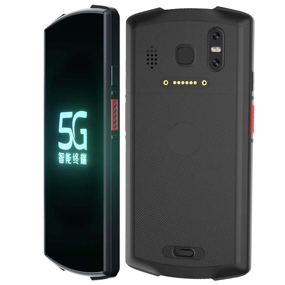
Engineered for the Field: The HTQ10A Android Rugged Tablet
The Hotus HTQ10A Android Rugged Tablet is purpose-built to operate reliably in the extreme environments of tropical agricultural zones. Featuring an IP67-rated enclosure, the device is completely sealed against fine silt, sticky mud, and prolonged water exposure. Its high-luminance, 800+ nit display ensures sharp legibility under harsh, direct equatorial sunlight, preventing eye strain and input errors during extended field audits.
Equipped with robust wireless connectivity, the HTQ10A seamlessly pairs via Bluetooth and Wi-Fi with edge-deployed soil gas sensors, automated water-level loggers, and floating closed-chamber systems. The hardware platform serves as a localized data hub that automates critical data collection workflows:
- Automated Flux Logging: Captures and aggregates localized $CH_4$ concentration metrics at scheduled intervals without requiring manual intervention.
- Hydrological Tracking: Chronologically logs water table drawdowns and flooding cycles to confirm adherence to AWD protocols.
- Geospatial Validation: Leverages integrated GPS/GNSS modules to tag every data point with precise spatial coordinates, linking metrics to specific paddy boundaries.
- Resilient Storage Architecture: Utilizes secure local storage to preserve data offline when working outside cellular coverage zones, automatically syncing with cloud databases once network connectivity is restored.
By running specialized agritech applications, the HTQ10A actively guides farm managers through complex drainage schedules. If an unexpected tropical downpour disrupts a critical drying phase, the tablet records the environmental anomaly immediately. This allows the MRV platform to adjust carbon offset calculations automatically, maintaining data integrity and preventing the disqualification of the entire credit batch.
")
The Hotus SH5‑W handheld renders real-time methane concentration trend lines, capturing the immediate drop in gas flux following a controlled drainage event.
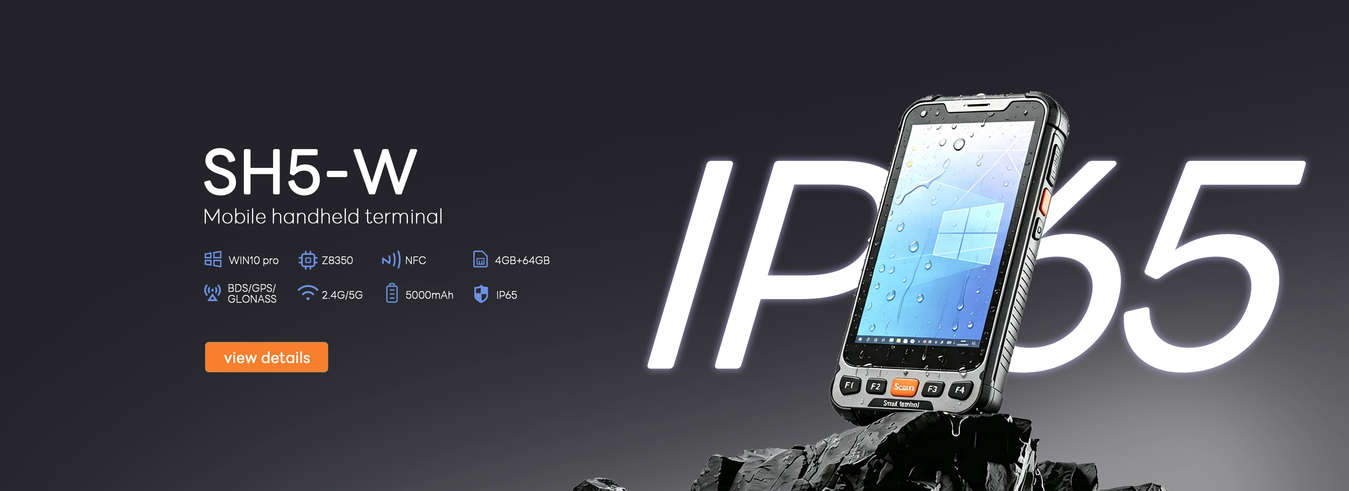
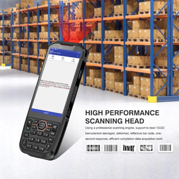
Mobility and Scale: The SH5-W Windows Rugged Handheld
For carbon auditors, agronomists, and field technicians tasked with cross-examining vast geographic zones, mobility is essential. The compact Hotus SH5‑W Windows rugged handheld packages desktop-class processing power into an ergonomic, highly mobile form factor. Running full Windows enterprise applications, it enables field teams to cross-reference sensor diagnostics and visualize spatial data right at the paddy edge.
The SH5-W acts as an administrative master key for regional carbon projects. Technicians walking the field perimeters can pull real-time telemetry from buried soil sensors via short-range wireless protocols. This allows them to verify that physical water levels match the digital logs submitted by local farmers, creating a double-layer verification system that satisfies stringent international auditing criteria.
Data-Driven Verification: Maximizing Yields and Compliance
Modern carbon financing hinges on the principle of additionality and verifiable permanence. As large-scale initiatives like the Rural Carbon Innovation in Rice program expand across millions of hectares in Southeast Asia and South America, the reliance on manual records has become a major operational liability. Institutional investors and corporate buyers will not purchase carbon offsets backed by unverified field notes.
Consider the contrasting outcomes within regional farming cooperatives. A progressive farming collective in the Mekong Delta integrated 30 HTQ10A rugged tablets alongside 20 SH5-W handhelds across 500 hectares of collective paddies. By precisely managing their AWD cycles based on real-time sensor analytics, they achieved an independently verified 48% reduction in net methane output over a single macro-season. The resulting digital data packages passed third-party audits seamlessly, securing $75,000 in carbon payouts that directly funded upgraded community water infrastructure. Conversely, neighboring operations relying on retroactive paper logs saw their credit applications denied due to data gaps and lack of verifiable timestamps.
")
The ST11‑J dashboard aligns water table data alongside methane concentrations, providing a clear, audit-ready visualization of environmental compliance.
Building a Transparent Agricultural Carbon Supply Chain
Mitigating agricultural methane emissions presents an impactful path toward global climate targets, but its success depends entirely on transparency. Implementing high-performance hardware throughout the data collection pipeline eliminates human error, deters data manipulation, and reduces the administrative costs associated with third-party verification.
Deploying specialized field hardware delivers clear advantages for modern carbon credit asset creation:
| Monitoring Vector | Manual Paper Logs | HOTUS Digital MRV Workflow |
|---|
| Data Integrity | Susceptible to retrospective changes and loss | Immutable, time-stamped digital records |
| Sensor Syncing | None; relies entirely on visual estimates | Direct Bluetooth/Wi-Fi automated polling |
| Spatial Verification | Unverified, text-based plot descriptions | Integrated GPS/GNSS geo-fencing |
| Audit Readiness | High rejection rates due to missing data | Instant cloud-synced dashboard reporting |
Transitioning from historical, unverified farming methods to digital precision agriculture protects projects from data gaps and ensures compliance with global standards. By deploying industrial-grade computing solutions directly to the field, carbon project developers, agricultural cooperatives, and environmental auditors can secure their data supply chains, protect their investments, and accelerate global decarbonization efforts.
Optimize Your Agricultural MRV Infrastructure
Equip your field teams with the hardware needed for accurate, auditable carbon asset generation under demanding environmental conditions.
Contact HOTUS Technology Today