- Select Language
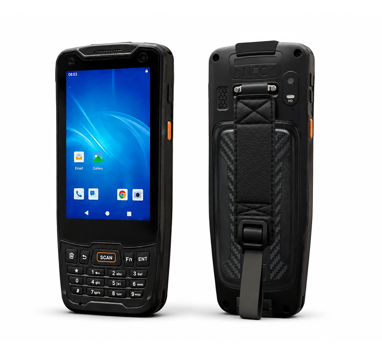
R350C 4-inch Industrial Handheld PDA | Qualcom...
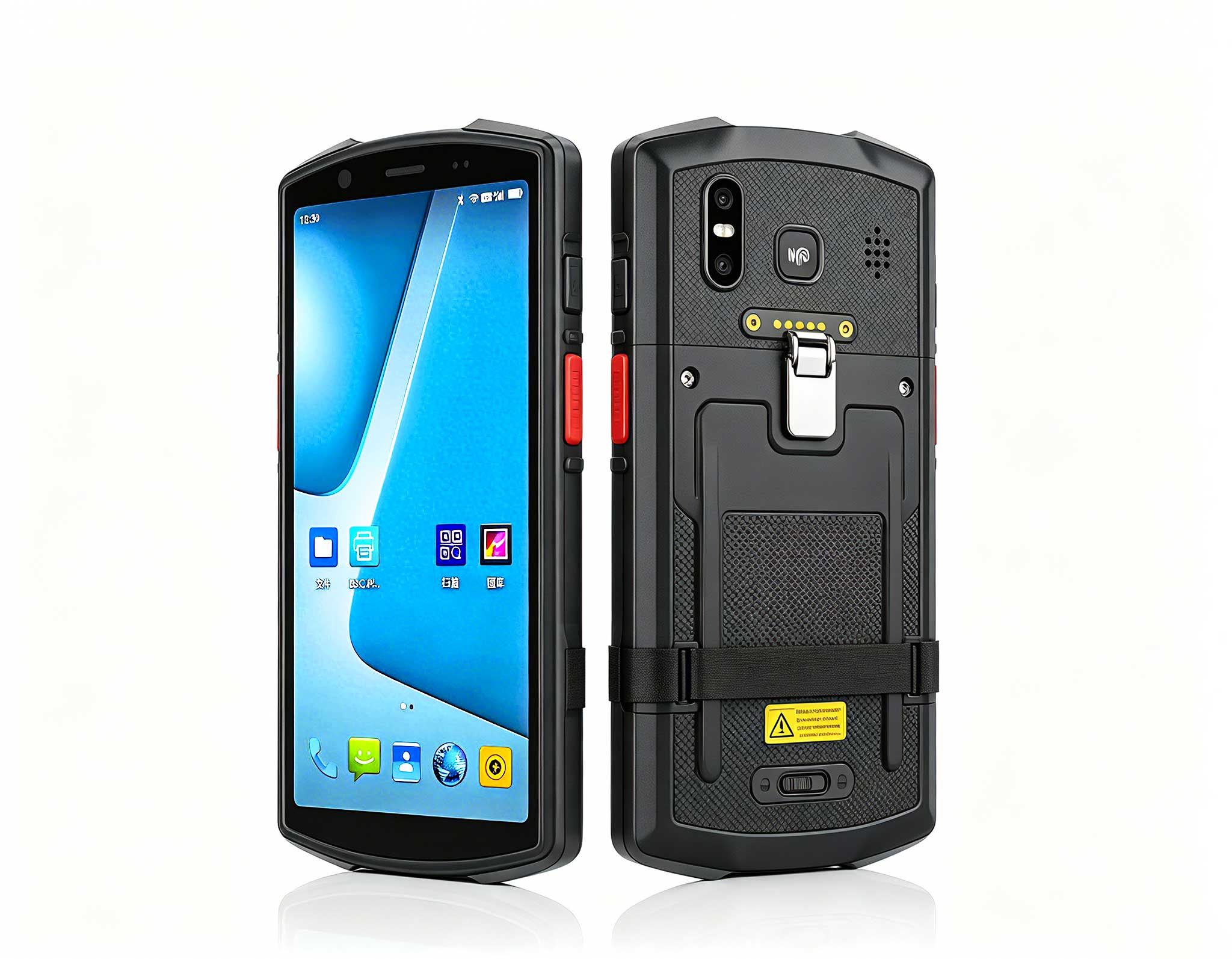
R366-S 5.5-inch Industrial PDA | Qualcomm Octa-cor...
The N60 PDA is a cutting-edge device for inventory...
R860-S 5.5-inch Industrial PDA with Thermal Printe...
️ X8 Series Handheld Label & Thermal Printing ...
R860-S 5.5-inch Industrial PDA with Thermal Printe...
The EGPU Graphics Card Expansion Dock is a high-pe...
Enterprise Flagship SeriesEngineered for mission-c...
A road maintenance survey rarely produces one clean reading. A patch that was recorded as forty millimetres deep in April gets measured again in July by a different crew, on a different day, with a different device, and comes back as sixty. Both numbers are honest. Both were written by someone doing the job properly. The conflict is not about honesty at all; it is about which entry the office is allowed to act on when the invoice, the material order and the crew's time all depend on it.
Three machines from the same supplier end up on the same vehicle for exactly this reason. A survey team does not pick one tablet and use it for everything, because the same stretch of road asks for three different things depending on where the crew has stopped. This article looks at the point where two records of one spot collide, and what each of these three devices actually contributes once the argument about the number has started.
The most common version of this argument is not a disagreement about quality. It is a disagreement about where the crew was standing. One team parks on the carriageway and photographs the defect from the near side; the other parks on the verge and measures from the far edge of the kerb line. Both record the same feature, both write a plausible figure, and the two numbers cannot be reconciled because they were taken from different reference points.
Everything downstream inherits that ambiguity. The material order is raised against one figure, the invoice is priced against the other, and the second visit that resolves it costs more than the original survey would have. What decides the outcome is rarely the quality of either entry. It is whether the second team had a way to prove where it was standing when it wrote the number down.
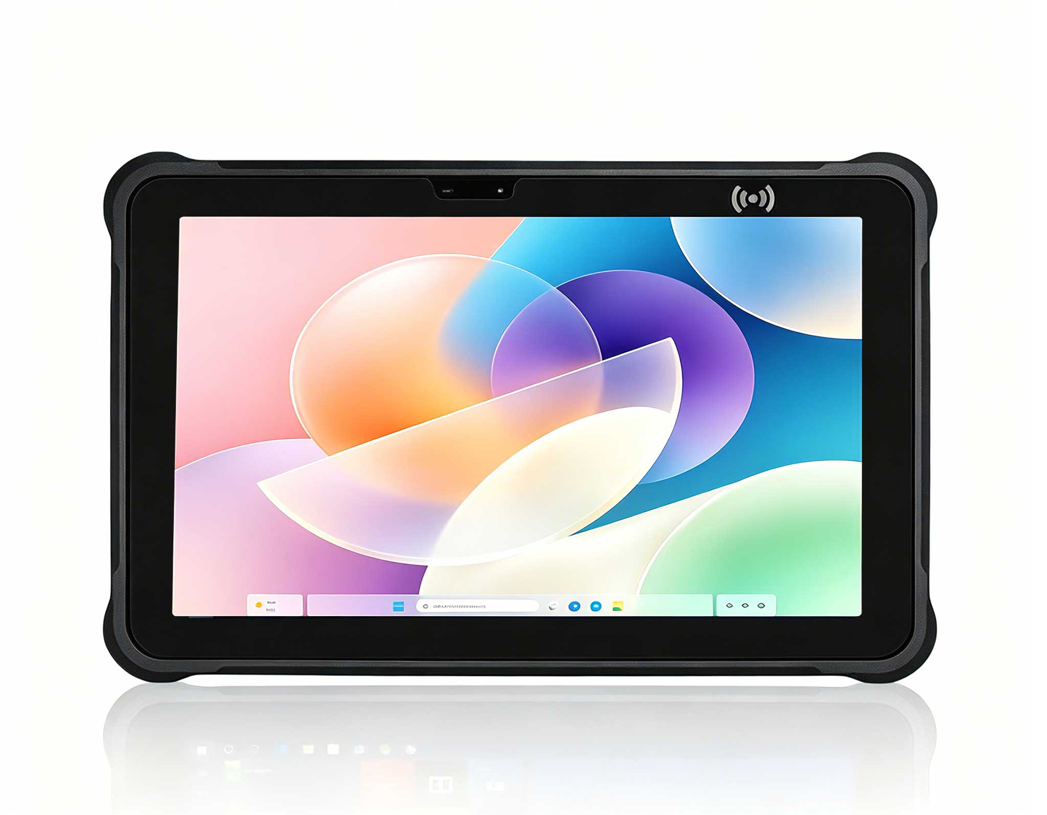
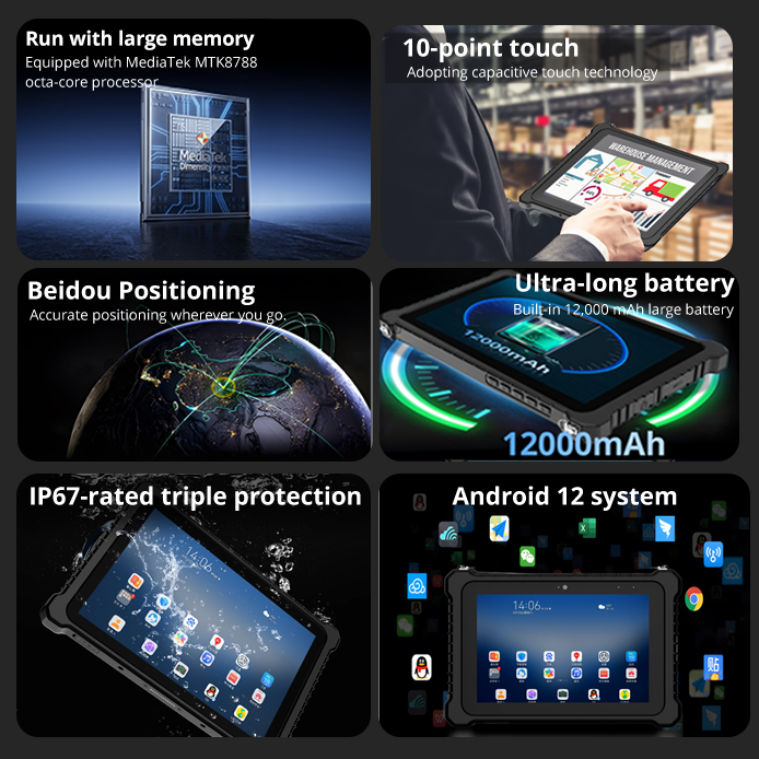
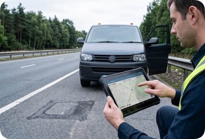
The RT81 Rugged Tablet is the unit that gets taken out when the disagreement is about position rather than about depth. It runs a Qualcomm SM6115 octa-core platform on Android 16, carries a 10000mAh non-removable battery and a 10.1in IPS panel at 400 nits, and holds an IP67 seal with a 1.2m drop rating. Those are the numbers a buyer looks at. The number that settles an argument is different: the optional independent Beidou module with RTK, which the manufacturer describes as sub-5cm accuracy.
In practice that module changes what a second entry can mean. A plain GNSS fix on the same road, recorded twice, can drift by enough between two passes to make both entries arguable. A centimetre-level fix recorded at the moment of measurement gives the office a figure that can be compared with the first entry without asking which driver was more careful. A 10.1in FHD screen also means the map, the photo and the value sit on one screen rather than across two devices, which matters when the crew is standing in traffic with one hand on a steering wheel.
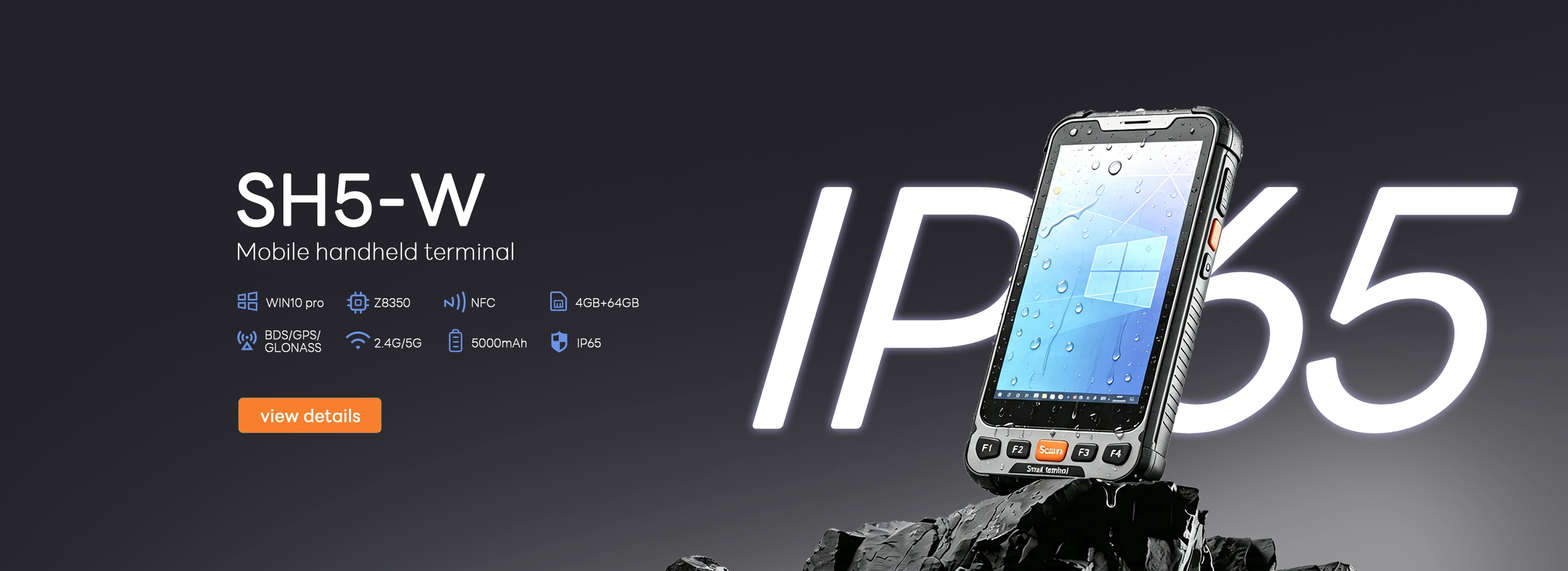
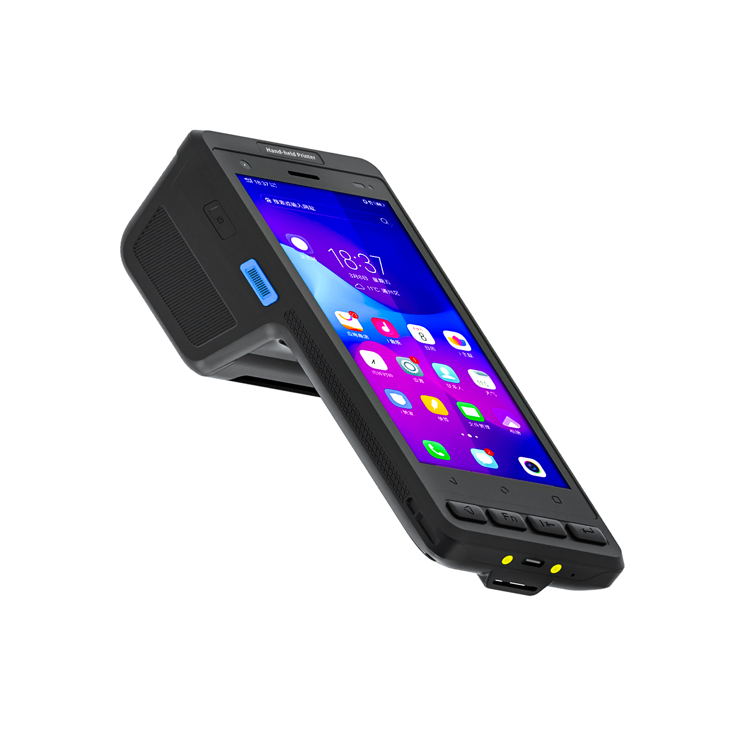
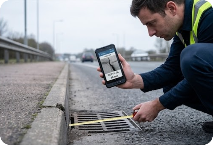
Not every conflict is solved by precision. Some of them happen because the crew could not get close enough to the thing they were asked to measure. Drainage channels, kerb upstands and footpath edges sit where a vehicle cannot follow, so the recording has to happen on foot. The SH5-W is built for that part of the job: 5.5in IPS at 1080 by 1920 and 400 nits, a Windows 10 Pro platform on an Intel Cherry Trail Z8350 quad core, 4GB with 64GB, and a body of 180 by 87 by 20mm at 350 plus or minus 20g.
That weight figure is the argument for this device in this scenario. It is quoted as a bare unit figure on the product page, and it sits under an IP65 seal with a 1.2m drop rating and a minus 20 to 55 degree operating range. A crew member who has already walked two hundred metres of verge carrying a tape, a marker spray can and a camera will notice the difference between a device that can stay in one hand for the whole walk and one that has to be set down every few minutes to change grip.
Protection here is IP65 rather than IP67, and the operating range reaches 55 degrees at the top instead of 50. The screen is smaller, so fewer fields fit side by side. Neither point decides the survey; both of them decide whether the operator can stay close enough to produce an entry detailed enough to survive comparison with the other team's.
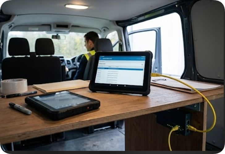
The third device is rarely the one held over the defect. The HTNJ08C Rugged Tablet is the one that stays on the repair truck, running the parts list, the work order and the photographs coming back from two crews who are working at different ends of the same stretch. It carries an Intel N100 four-core processor at 3.4GHz, an 8in LCD at 1200 by 1920 running 560 nits, and a 7.6V 3500mAh battery. The interface list is unusually dense for an 8in panel: audio, mini HDMI, USB-A, USB-C, DC input, RJ45, TF, SIM and a 12-pin pogo connector.
That RJ45 port is worth noting on a survey vehicle. A maintenance depot usually has a wired network at the wall and a cellular signal that fails exactly where the road is worst, so the port turns the truck into a station that can sync both photographs and both entries before the crew drives back to base. Wi-Fi 6 with Bluetooth 5 handles the rest, and the optional 4G, NFC, scan and fingerprint modules are listed alongside a charging dock for crews that run long days out of the depot.
The battery is the smallest of the three at 3500mAh, and the quoted 1.8KG is a gross weight with the carton rather than a bare figure for the unit, so it is not directly comparable with the other two devices. What is comparable is the brightness: 560 nits against 400 on the other two screens, which is the difference between reading a work order in direct summer sun and moving the truck to find shade.
| Specification | RT81 | SH5-W | HTNJ08C |
|---|---|---|---|
| Display | 10.1in IPS, 1200 by 1920, 400 nits | 5.5in IPS, 1080 by 1920, 400 nits | 8in LCD, 1200 by 1920, 560 nits |
| Battery | 10000mAh, non-removable | 5000mAh, up to 5.5 hours working time | 3500mAh at 7.6V |
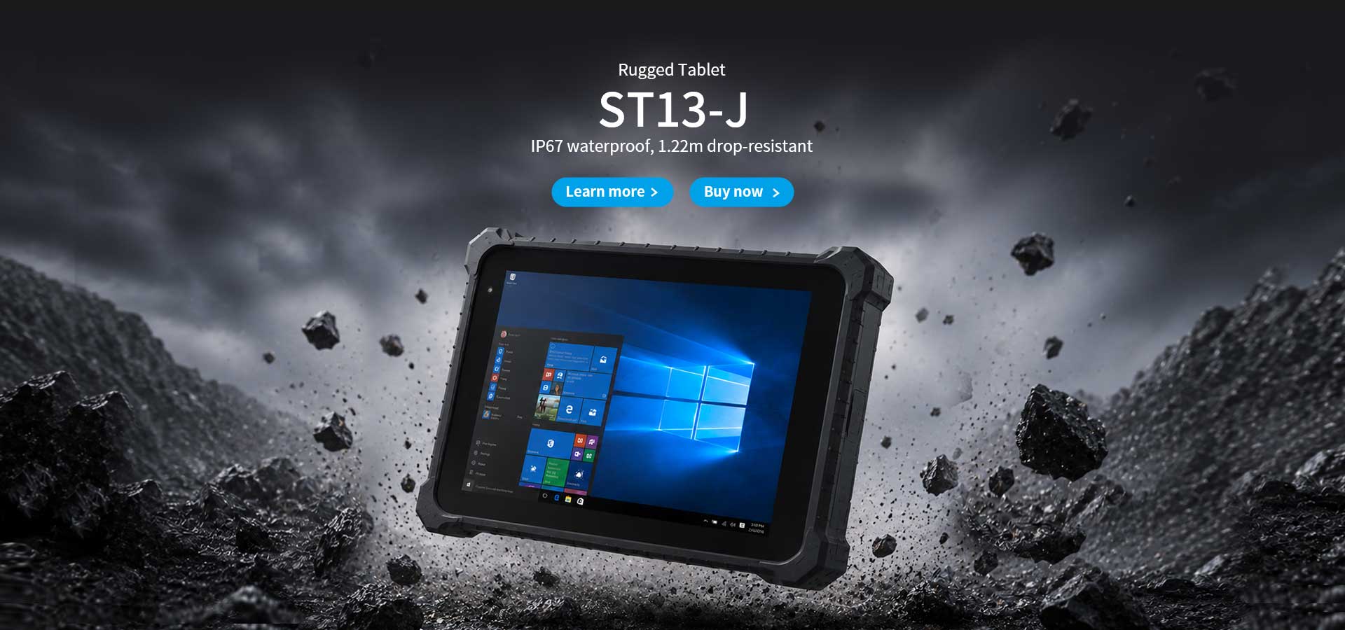
| Protection | IP67, 1.2m drop | IP65, 1.2m drop | IP67, 1.22m drop |
| Body size | 252 by 170 by 14.6mm | 180 by 87 by 20mm | 238 by 160 by 25mm |
| Positioning | GPS, Glonass, Galileo, optional independent Beidou RTK | GPS, BDS, GLONASS | Not published on the product page |
| Network | 4G LTE, dual-band Wi-Fi, Bluetooth 5.0 | 4G LTE, Wi-Fi 5, Bluetooth 4.2 | Wi-Fi 6, Bluetooth 5, optional 4G |
| Operating range | minus 10 to 50 degrees | minus 20 to 55 degrees | Not published on the product page |
Read across that table and one thing becomes obvious. None of the three sheets tells you how the device was held, where the crew was standing, or which edge of the kerb the measurement started from. Positioning is the only column that comes close, and only one of the three devices publishes a figure precise enough to place a reading on a specific point rather than a general area.
The specification sheet is also silent on the second entry itself. It says nothing about whether a previous survey can be pulled up beside the current one, whether an old photograph can be compared with a new one in the same frame, or whether a value can be flagged for review before it reaches the invoice. On a road where two teams produce two numbers for one spot, those are not cosmetic features. They are the difference between a conflict caught in the cab and a dispute that reaches the depot.
The cost that follows a bad entry is easy to state and awkward to defend. A return trip costs fuel, a crew hour, a vehicle booking and a second closure of the same stretch of road, sometimes at a worse time of day than the first visit. Set against that, a centimetre-level position fix, or a second entry photographed from a recorded reference point, costs one option on the specification sheet. The comparison is not close, which is why the same three devices tend to reappear on the same vehicle season after season.
Three locations on a routine highway survey generate almost every repeat visit. A drainage gully beside a bend is the first, because the crew approaches it from opposite directions on the outbound and return legs and measures to the grate edge from two directions. A kerb upstand where resurfacing meets an older section is the second, because the depth of the step depends entirely on which side of the cut is treated as the reference. The third is a carriageway defect recorded from the shoulder on one visit and from a closed lane on another.
Two further patterns sit behind those three. Where a defect sits directly under a gantry or a sign, the entry can be photographed from the footway or from the carriageway, producing two sets of measurements at different scales. And where a crew returns after rain, the same depression may hold water and read deeper, which is a real change in condition rather than an error in recording, but one that still has to be resolved before anyone orders material.
What actually reduces repeat visits is not the device but the note the returning crew receives. A handover that states the chainage, the reference edge used for the measurement, the device and its positioning mode, and the exact time of the first reading turns the second visit into a comparison instead of a fresh survey. The three units described here each contribute a different part of that note: a position fix, a close-range measurement taken from the footway, and a panel that holds the recorded detail while the crew is still standing there.
Most crews doing field maintenance already know this. The gap is rarely knowledge, and it is rarely hardware. It is that nobody wrote the reference down the first time, so the second team cannot prove they measured the same thing.
If your crews are handling road surveys where the same stretch gets recorded twice, the field maintenance solutions page covers how these three devices are usually allocated across a survey vehicle, and what each role is expected to carry.